Site and flight feasibility
Geometry, access, wind, restricted areas, flight requirements and mine safety procedures are reviewed before planning field work.
Australia · Tailings and rehabilitation
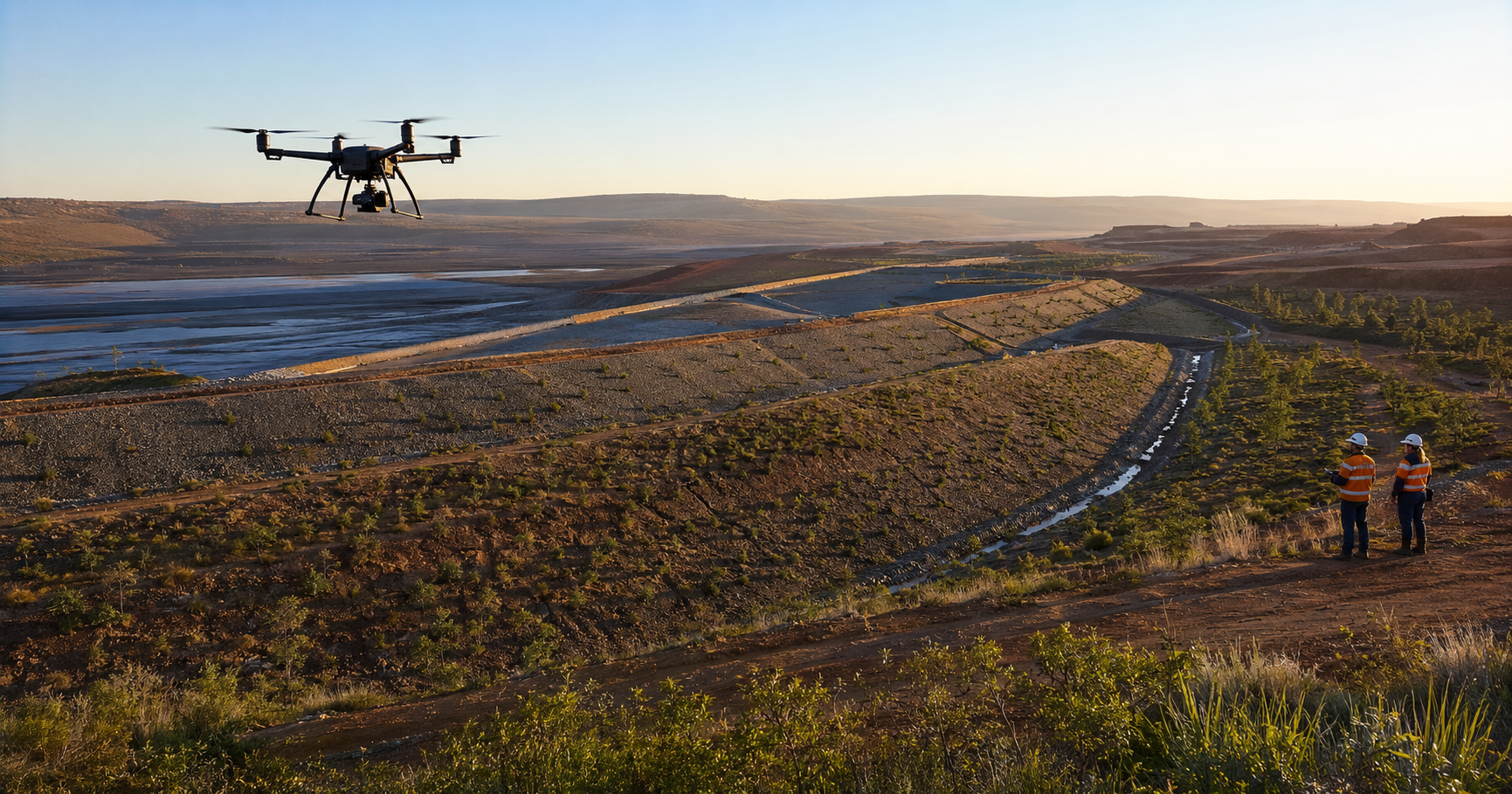
AEI evaluates drone-supported inspection, surface documentation and progress monitoring for tailings, embankments and rehabilitated mining land, working with site teams and qualified Australian operators.
Australia
Large and difficult-to-access mining surfaces require a defined technical purpose, safe flight planning and consistent records. AEI reviews the site and intended outcome before recommending an inspection, monitoring program or controlled pilot.
Geometry, access, wind, restricted areas, flight requirements and mine safety procedures are reviewed before planning field work.
The project defines the sectors, observations, record format and review frequency needed to support technical decisions.
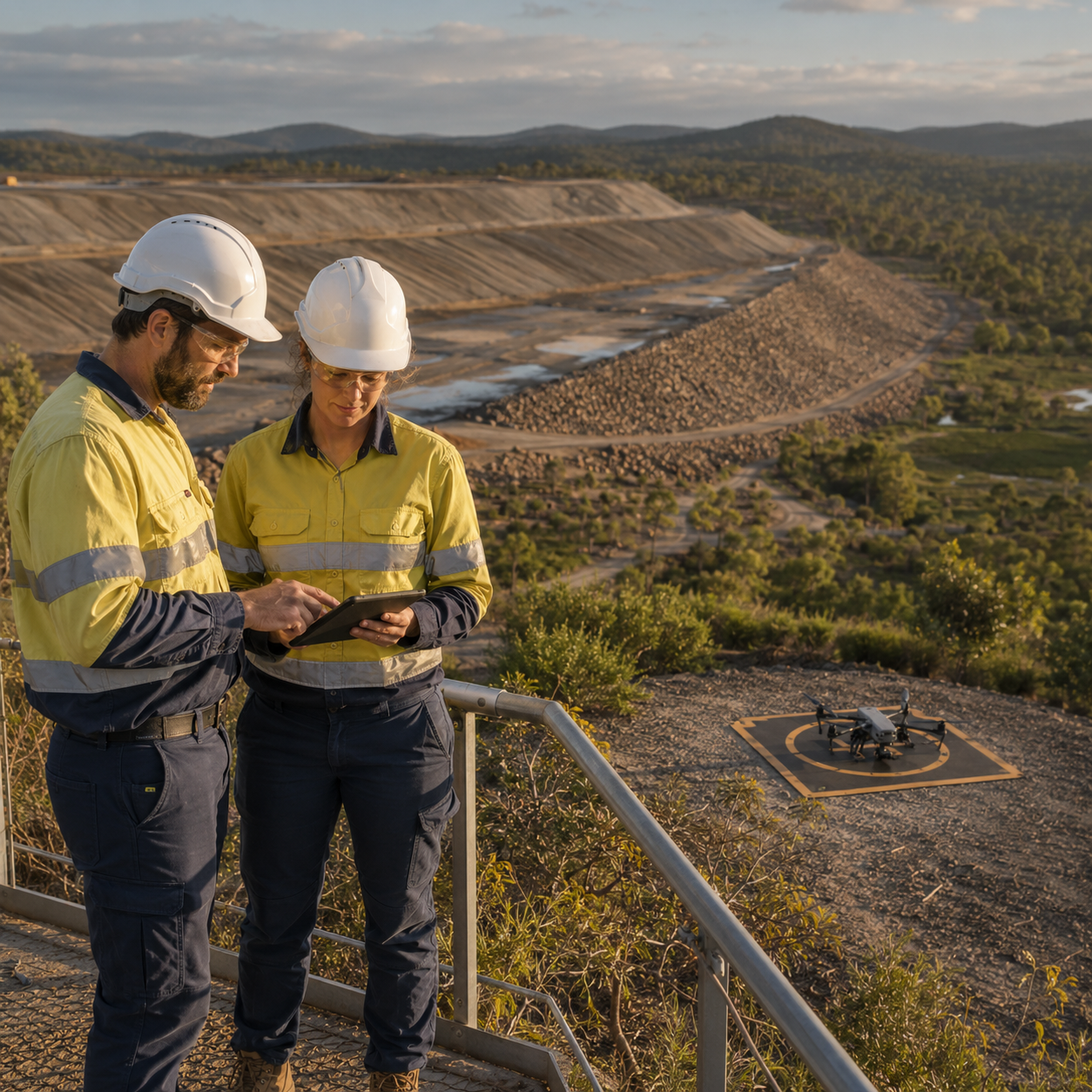
Australian operating capability, licences, insurance, site induction and equipment suitability must be confirmed before execution.
Applications
The service is scoped around the technical question the operation needs to answer; it does not assume that every site or application is suitable for drones.
Methodology
Coverage, accuracy, frequency and operational feasibility are confirmed for each site. AEI does not publish universal performance claims.
Frequently asked questions
No. Feasibility depends on airspace, site procedures, geometry, wind, access, equipment, operator authorisation and the intended technical outcome.
No. Drone-supported records complement the mine's qualified technical teams and are interpreted within the site's engineering, environmental and safety processes.
Yes. AEI is open to qualified local partners whose licences, insurance, equipment, site experience and operating procedures can be verified.
Provide location, approximate area, surface type, slopes, access, purpose, desired records, site restrictions and any known flight or safety requirements.
Australia · Feasibility assessment
Tell AEI about the site, area, access, technical objective, required records and local operating requirements. We will review feasibility before proposing a pilot or partnership.